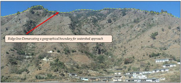
Watershed approach is based on geographical boundary and not on administrative boundary
This geographical demarcation of watershed boundary considers natural parameters like ridge line, slope, rainfall, stream flow & its direction etc.
Geographical demarcation
While working in a watershed approach, the Watershed planner is aware of the geographical boundary of the watershed for which watershed planning has to be developed. This widens the scope of a good watershed planning.
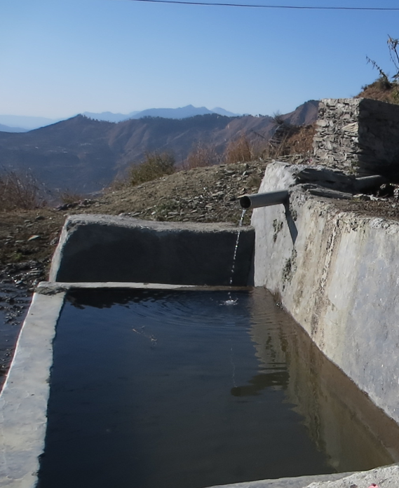
The available rainfall data in the given geographical boundary and available natural water resources helps the watershed planner to get an idea of the available water .This inturn helps in proper water budgeting for watershed planning.
Certainly! Geographical based parameters are more significant in realistic planning for sustainability of natural resources.
There is vast scope for more ground based planning along with use of GIS technology. This is the beauty of watershed approach based planning.
This helps in addressing various objectives required for sustainability:-
Efficient use of natural resources
Increasing the efficiency of natural resources
Effective conversion of rainfed land into irrigated land.
It also provide an opportunity for bringing the waste land under Cultivation
Over all, Watershed approach has integration of various sciences. Such integration allows the Watershed planner to have a sound and meaningful planning.